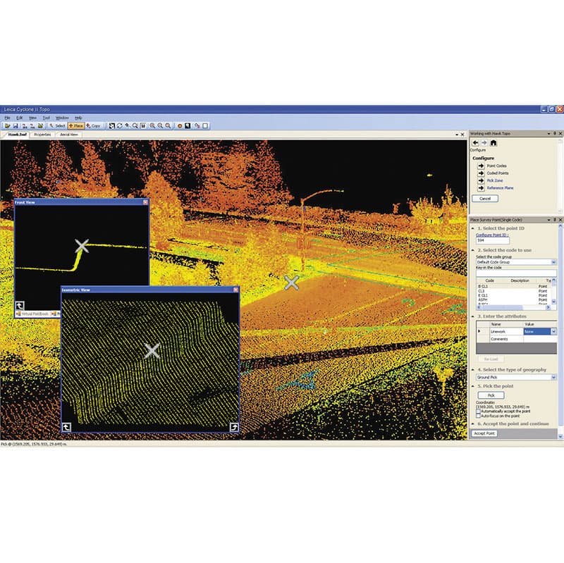
Leica Cyclone II TOPO
Item # CycloneIILeica Cyclone II, the Next Generation
The next-generation software overcomes the final obstacle for taking full advantage of the compelling benefits of High-Definition Surveying™ (HDS™): making office work easy. Cyclone II TOPO is a dramatic leap forward over the challenging process of 3D navigation and viewing of point clouds.
Easy for Everyone!
Now, CAD techs don’t have to be 3D or laser scanning specialists to produce maps from point cloud data as fast as or faster than using conventional survey data. The learning curve is short and map creation is fast and accurate. To achieve this in Cyclone II TOPO, Leica Geosystems has combined major point cloud software innovations – in friendliness and automation – with the familiarity of standard CAD tech 2D mapping tools and terminology.
