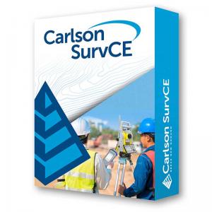
Carlson SurvCE 6.x
Carlson Item #:6506.001.000
Please call us at +1-800-322-5003 or click below to request a price quote.
The data collection software for the professional surveyor
With SurvCE (for Windows Mobile) and SurvPC (for Windows) you are using the most flexible software on the market to get your work done in the most efficient and productive way.
Almost every surveying instrument from the following manufacturers is supported: Altus, Ashtech, Carlson, Geomax, Leica, Pentax, Sokkia, Spectra-Precision, Stonex, Topcon and many more...
Carlson SurvCE and SurvPC are combining advanced functionality, ease-of-use, and sheer capability with excellent service and technical support to make it surveyors’ first choice in data collection software.
This complete data collection system for Real Time (RTK) GPS and total stations with in-field coordinate geometry supports the widest range of popular and new release RTK GPS and conventional/robotic total stations.
These powerful features help you do more, do it accurately and in less time:
- Powerful Roading: favored by U.S. DOTs and heavy highway contractors around the world
- Advanced functionality for staking intersections and culde-sacs using Carlson Road Network Files
- Highly graphical and intuitive user interface – the software prompts you so no detail is missed
- Strong GIS features for accurate data capture, including attribute data, that allows seamless links to Esri®
- True versatility: SurvCE and SurvPC run on most all GPS and total station equipment models in service today
- Optimal Field-to-Finish: no need to spend extra hours in the office to make drawings
- Easy data exchange due to rich support of CAD file formats and .dwg, .dgn, .shp
- More field capabilities with quick and easy volume calculation and ability to generate points from polylines
- Cut/Fill stakeout using surface files
Data Sheet: 020ENCarlsonSurvCE6_Low_res.pdf
